From entered levels
to a clear stake sheet.
Plan a short drainage grade run, compare existing and design elevations, and keep each station’s cut or fill beside the profile.
Android edition in preparation. Google Play registration is pending; this Android app is not available for purchase yet. Planned paid download: US$9.99, with no ads or subscriptions.
Review every segment
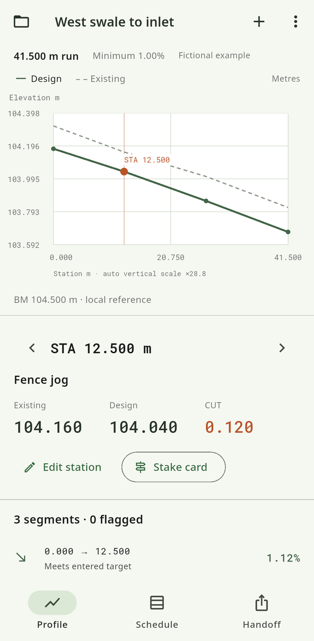
A positive average can hide a rising section. GradePin checks each adjacent pair for reverse grade, flat grade and positive fall below your entered minimum. Selecting a station links the plotted position with its existing level, design level and cut or fill. The vertical display scale is automatic and labelled.
Shape the design
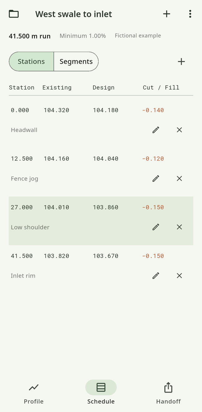
Edit individual stations, move them along the run, or review and apply a straight design grade from a start elevation and fall percentage. Existing levels and notes remain. Work in metres or international feet without changing the underlying physical run. Save multiple independent runs and revisions locally.
A practical handoff
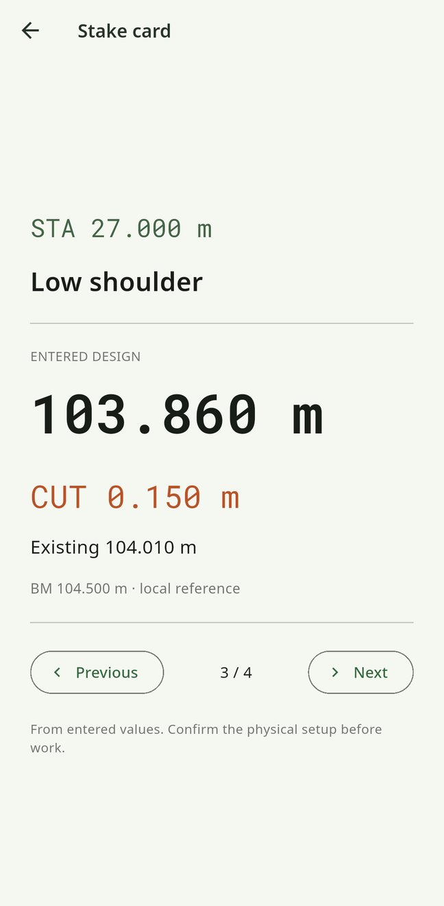
Create a native PDF containing the profile, schedule, segment checks and printable stake cards, plus a UTF-8 CSV and portable run JSON. Preview, save through Android’s document picker or open a share sheet. Import Android backups and original iOS GradePin single-run JSON exports.
Know what the plan means
All levels and the minimum slope are manual planning inputs. No GPS, survey instrument connection, hydrology, earthwork volume, code compliance or construction certification. Confirm the datum, units, measurements and site requirements before work.